
Brunswick ZIP Code Coverage
Only one delivery ZIP is documented for Brunswick in the official City comprehensive plan: 44212. The plan says it serves all of Brunswick City, part of Brunswick Township, and a small part of Medina Township. That makes the Brunswick ZIP code directory a one-row coverage record, not a reason to add guessed neighborhood, post-office-box, or institutional ZIP entries. USPS should confirm a specific current delivery address.
| ZIP code | Documented coverage | Postal verification | Research limit |
|---|---|---|---|
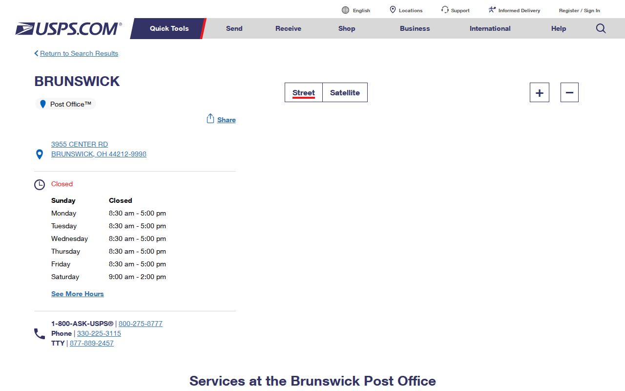
| 44212 | All Brunswick City, part of Brunswick Township, and a small part of Medina Township | Brunswick Post Office, 3955 Center Road, 330-225-3115 | Postal geography does not certify city jurisdiction |
| No additional ZIP verified | No other delivery, PO-box-only, or unique ZIP found in inspected official sources | Check the individual address with USPS | Do not infer a second Brunswick ZIP |
The table is based on the City's planning document, so it is a useful geographic finding rather than a current parcel certification. A five-digit ZIP can help organize mail. It cannot establish an owner, a current resident, land boundaries, or the correct records custodian.
USPS lists the Brunswick Post Office at the Center Road location used for 44212 delivery support.
Use the postal source to verify delivery information before moving to a property or City records search.
44212 Beyond Brunswick City
The defining Brunswick ZIP code quirk is its cross-jurisdiction reach. A 44212 address can be administered by Brunswick Township or Medina Township rather than Brunswick City. The City plan also reported 536 acres in 15 separate Brunswick Hills Township islands, including areas along I-71 and other corridors. That is planning-era context, not a current legal determination, but it explains why a postal-city label can send an address search to the wrong office.
Use the Medina County Auditor Property Search and the linked parcel viewer to check the parcel's municipality and township fields. If the card identifies a township or another municipality, county records and that local government are a better next route than a Brunswick City department. For a genuine City address, the City Engineer and Building Division handle the City-level address, map, plat, permit, and inspection side.
Brunswick Address Fields Explained
Three geographic labels often appear in the same property research task. A situs address is the property's physical location. A mailing address is where an account holder receives correspondence. A legal description is the lot, block, subdivision, or survey language that identifies the land in recorded documents. The Auditor and GIS use parcel and situs information, while the Recorder chain turns on parcel, legal description, subdivision, lot, and block. A ZIP code should not substitute for any of those fields.
- ZIP code
- A postal delivery area, usually shown as five digits. It does not set municipal limits.
- ZIP+4
- An added delivery detail for a narrower mail route or address segment, not a property jurisdiction.
- PO-box ZIP
- A postal designation used for box delivery. No Brunswick PO-box-only ZIP was verified in the research.
- Carrier route
- A mail-delivery sequence; it is not an ownership, resident, or legal-boundary record.
For an old address, retain the parcel number or legal description as the durable bridge. Brunswick became a village and then a city in 1960, so earlier deeds, tax records, directories, and census material can instead identify Brunswick Township, a rural route, or a lot. The 1874 and 1897 owner atlases and the Medina County Historical Society research method are safer historical links than a guessed old-number conversion.
ZIP Code Searches in Brunswick
Neither the Medina County Auditor's public property search nor the Recorder AVA land-record search offers a ZIP field. The Auditor accepts owner name, parcel number, structured address, sales criteria, township, municipal, tax-district, school-district, and neighborhood fields. Recorder AVA accepts party, date, document, book/page, subdivision, lot, block, and parcel fields. Those indexing choices are why a ZIP code cannot return an official local property-wide resident list.
| USPS delivery lookup | Use a street address to check delivery information. |
|---|---|
| Auditor structured search | Use house number, direction, street name, street type, parcel, owner, or municipal and township filters. |
| Parcel viewer | Confirm geometry and city or township attributes, then open the parcel card. |
| Recorder AVA | Carry forward parcel, subdivision, lot, block, or legal-description clues. It has no ZIP field. |
| Ohio voter tools | Name-led official lookup and dated county files, not a ZIP browse. |
| ZIP-capable search field | Official source | Documented scope | Important limit |
|---|---|---|---|
| ZIP code | Ohio Department of Rehabilitation and Correction Offender Search | APA Supervision and Violators-at-Large query | Returns a last recorded, not necessarily present, location and does not validate Brunswick delivery geography. |
- Verify the specific delivery address through USPS.
- Run the structured street address in the Auditor search and save the parcel number.
- Check the parcel's municipality and township, then open the map to confirm the same land.
- Use the parcel or legal description in Recorder AVA for recorded-land research.
- For street-by-street work, continue to the Brunswick street directory address workflow.
ODRC has a ZIP field only for a limited APA Supervision or Violators-at-Large query and warns that it can show a last recorded, not present, location. It is not a Brunswick ZIP code directory or delivery boundary checker.
Brunswick ZIP Code Record Requests
A ZIP code is not a reliable request key for City records. Brunswick's optional public-records form includes ZIP only as optional requester contact information. It does not create a ZIP filter for permits, inspections, zoning material, Council records, or police reports. The City policy implements Ohio Revised Code §149.43 and says that a written request, identity, and purpose cannot be required. It also says staff should help narrow an overbroad request, which is useful when an address has a postal label but uncertain jurisdiction.
For a confirmed City address, state the physical address or parcel, a date range, a precise record type, and the preferred copy medium. A useful request might identify a permit application, issued permit, inspection record, zoning certificate, property-maintenance file, Council item, or identified police report. Brunswick Building maintains permits and inspection processes, but no verified self-service historical permit or code-case database was found. The request route is therefore more dependable than assuming an online ZIP search exists.
City Administrative Services is at 4095 Center Road, Brunswick, and the City Engineer assigns building addresses inside City limits. If the Auditor card instead identifies Brunswick Township, Medina Township, or another municipality, use the county record route and the government that actually has jurisdiction. That distinction protects a requester from waiting for a City office to search a file it does not hold.
Brunswick ZIP Codes and Older Addresses
Current ZIP labels are not historical address systems. Brunswick was agricultural through the mid-1950s, became a village in January 1960, and became a city in October 1960. Older directory, land, tax, census, and map sources can use Brunswick Township, township road numbers, rural routes, lot descriptions, and owner names instead of a current City or ZIP label. The 1916 Farm Journal directory's Brun 19 reference, for example, means Brunswick Township Road No. 19 and belongs with its dated road map, not a modern ZIP lookup.
When an older source and a 44212 delivery address appear to conflict, carry the parcel, lot, subdivision, or legal description into the comparison. MCDL and the Medina County Historical Society hold the 1874 and 1897 Medina County owner atlases. The City Engineer is the present City authority for building-address and map questions, while the Recorder and Tax Maps route the older land identity. A current postal result may help with delivery, but it cannot tell whether an older rural road or historic atlas label names the same land.
The safer order is historical map or directory reference, then lot or parcel identity, then deed or tax evidence, and finally the present street and postal form. This recognizes that property lines and numbers can change and avoids inventing a local renumbering date that the inspected sources did not establish.
ZIP Codes Versus Brunswick City Limits
Postal, parcel, and historical geography must be kept in order. USPS verifies delivery. The Auditor and parcel GIS identify county tax-account and jurisdiction fields. City Engineer resolves City address and map questions. The Recorder identifies recorded land through legal and parcel clues. For older work, a City label may not exist at all because Brunswick's pre-1960 records often use Brunswick Township terminology. This sequence prevents a 44212 label from becoming an unsupported conclusion.
A property result should be read as property information, not a current household roster. The Auditor distinguishes the physical situs from deeded-owner and tax-payer mailing fields. Those fields can differ. A Recorder party hit, map label, or ZIP code is likewise a starting point that needs confirmation with the actual parcel and document. Keep personal research lawful and do not use records to stalk, harass, intimidate, or harm anyone.
Note: For a delivery issue, start with USPS. For a City-boundary or address-assignment issue, contact City Engineer. For a parcel jurisdiction issue, use the Auditor card and GIS.