
Walking a Brunswick Street by Address
For a defined Brunswick street segment, begin in the Medina County Auditor Property Search, not with a person name. Its structured address form leads to one parcel at a time. That parcel card can supply the situs address, parcel number, municipality, legal description, sales information, and distinct deeded-owner and tax-payer mailing fields. The result is property-account evidence, not proof of current occupants. Confirm that the municipality or township shown on the card matches the research question before treating the address as a Brunswick City record.
- Enter the house number, direction, street name, and street type in the Auditor search. Save the returned permanent parcel number and legal description.
- Open the same parcel in the Medina County Auditor Parcel Viewer. Check the polygon and popup before moving to another record.
- Use the parcel or subdivision, lot, and block details in the Recorder search. Compare the document’s legal description with the parcel card.
- For an already identified person, use the official voter route as a name-led confirmation tool. It is not a browseable street roster.
- For a past address listing, consult the dated county criss-cross volumes at the Family History & Learning Center.
This street directory method keeps the record keys intact: address to parcel, parcel to legal description, then legal description to recorded land documents. Note: save the source and date for each result because an assessment, sale, recording, directory edition, and voter update mark different events.
Brunswick Street Directory Search Fields
The Auditor’s address form is specific enough to avoid a broad-name result set. It separates the address into four parts, and offers parcel, owner, mobile-home, and advanced routes as alternatives. There is no ZIP field. Once a card opens, its Location, Legal, Sales, Land, Improvements, Tax, and map panels make it the best first record for a Brunswick street directory search.
| Auditor field | Input | Use on a Brunswick street |
|---|---|---|
| House # | Text | Starts the structured address. |
| Direction | Abbreviation | Keeps directional street names distinct. |
| Street Name | Text | Pairs with the address number. |
| Street Type | Abbreviation | Completes the address form. |
| Parcel Number | Text | Returns to the same property after the first search. |
Parcel cards distinguish a physical situs from a deeded-owner address and a tax-payer address. A mailing field can be useful account context, yet it cannot be treated as an address of residence. That distinction prevents a street-by-street search from turning a tax record into a people list.
Reading Brunswick Parcel Labels
Several terms recur in address records. A parcel is the tax-map unit for a piece of land. A situs address is the physical location used by the property card. A plat is the recorded map that lays out a subdivision or related land division. A criss-cross directory is a historic reverse directory that moves from an address to a principal listing. These labels make it possible to compare records that do not use the same street wording.
- Parcel
- A permanent land-account identifier used to connect the Auditor card, map, and recorded-land search.
- Situs address
- The physical property location, which may differ from a deeded-owner or tax-payer mailing address.
- Plat
- A recorded subdivision or land map that helps match lots and blocks across documents.
- Criss-cross directory
- A dated address-to-name reference, useful for historic principal listings rather than present occupancy.
The Brunswick City Engineer assigns building addresses, maintains street and zoning maps, and handles plats and site plans. It is the local fallback when a current address, map, or City-versus-township question conflicts with a parcel record.
Brunswick Street Records Need a Parcel
The Medina County Recorder AVA search is the document stage of the Brunswick street directory, not the street stage. It has no direct street-address or ZIP search. Instead, use the parcel number from the Auditor, or a subdivision name with lot or block, then narrow with date, document number, party, or document type. The Recorder calls AVA a working index and recommends trying more than one search approach.
Useful AVA fields include last and first name, date range, document number, document type, book/page, subdivision, lot/block, and parcel. Results can show the document number, dates, book/page, party roles, parcel or legal entries, related documents, and an image indicator where a record permits image viewing. A party-name hit alone is not title proof. Match the legal description before attaching a deed to an address.
A sale entry on the Auditor card is a sensible lead into the deed sequence. It may show buyer, seller, sale date, conveyance number, deed type, and book/page or reference. A multi-parcel sale can appear in the same result, so open the target parcel before drawing any connection. Note: the Recorder generally makes a newly recorded document available on the next business day, but that timing does not alter the document’s recording date.
Brunswick Records Keyed to an Address
A Brunswick street directory has several record channels, each with a narrow purpose. The address or parcel can lead to property data, map geometry, recorded instruments, or a City-held file. The voter route works differently: it begins with a person name and county, and statutory exclusions apply. The table separates what each source can support from what it cannot establish.
| Address record | Custodian | Useful evidence | Access route |
|---|---|---|---|
| Parcel card | Medina County Auditor | Parcel, situs, legal description, sales, account fields | Online search, counter, or focused request |
| Parcel map | Auditor GIS | Polygon, address, owner/value attributes, card link | Online visual selection |
| Recorded land | Medina County Recorder | Deeds, plats, easements, parties, legal entries | AVA search or Recorder counter |
| Permit material | Brunswick Building | Identified project, permit, or inspection evidence | Specific City request |
| Historic criss-cross books | MCDL FHLC | Dated address-to-principal listings | Legacy holdings, confirm with staff |
For a named person, the Ohio Voter Lookup requires first name, last name, and county before it offers a street-name narrowing choice. Public fields remain subject to the exclusions in Ohio law, including confidential Safe at Home and protected-address records.
Brunswick Street Permit Files
City-held building material can help date work at one address, but no official self-service permit-history or code-case search was verified. The Brunswick Building Division, 4095 Center Road, 330-558-6830, registers contractors, issues permits, and schedules inspections. For a record request, name the exact address, approximate date span, and record category such as an application, issued permit, inspection log, or property-maintenance record. Ask for the preferred copy medium as well.
The official Building Division page is a useful starting point for the available municipal channel.
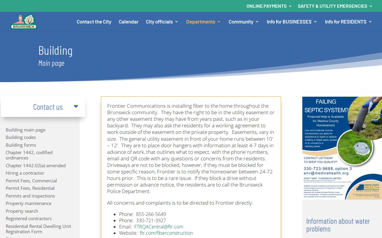
The screen supports the important limit: a City contact and request route is not the same as an online address-history database. Brunswick’s 2026 budget also described a Building software replacement, so a targeted request is more durable than assuming a fixed public interface.
Under the Ohio Public Records Act, R.C. 149.43, Brunswick’s policy says a written request and a requester’s identity or purpose cannot be mandatory. The City form is still a practical routing tool because it allows the department, record description, and date to be stated clearly.
Brunswick Street Maps Set Boundaries
The parcel viewer’s popup can show city, township, tax district, neighborhood, address, owner/value data, acreage, sale date, condition, grade, living area, and year built, then link back to the Auditor card. Use it to view one parcel and its place on the street. The research did not verify a buffer, radius, or all-adjacent-parcels command, so do not assume the map produces a complete street report.
The Brunswick maps hub provides the City’s street, ward, zoning, and cemetery map routes. The map hub is useful geographic orientation, but it does not show ownership or a resident roster.
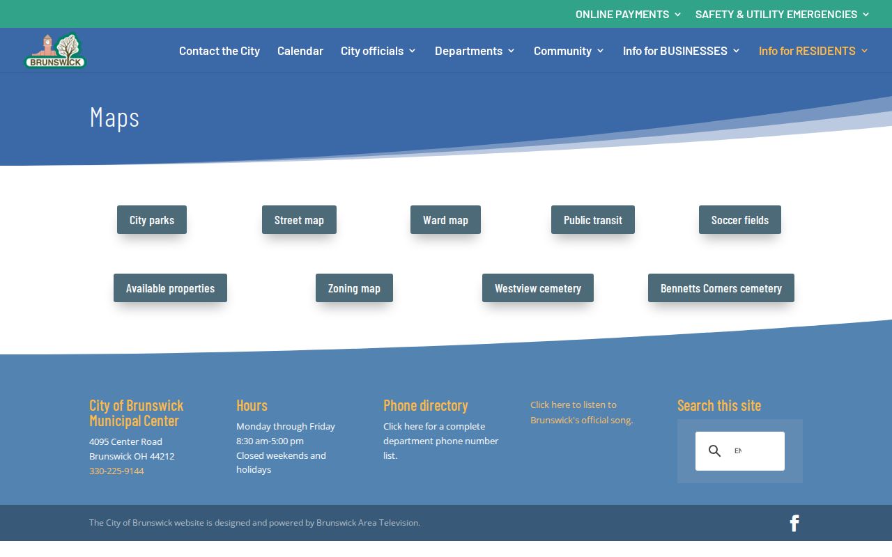
Use the City map beside the parcel map, not in place of it. Where boundaries are unclear, the parcel’s municipal fields, the legal description, Tax Maps, and the City Engineer have more weight than a screen-scale line.
Brunswick Street Sales Need Parcel Checks
The Auditor Sales panel can list a sale date, buyer, seller, conveyance number, deed type, book/page or deed reference, validity, parcel count, and amount. Its separate Sales Report supports date, price, buyer, seller, and validity filters, with parcel links and CSV results. That makes sales useful evidence when studying a Brunswick street over a defined period.
It is still a lead, not a shortcut. A sale can cover more than one parcel, and the same street can hold similar or repeated numeric strings. Open the linked parcel, preserve its legal description, then compare the actual Recorder document. For a broad surname search, AVA’s 200-result display limit makes parcel, date, and document-type filters especially important.
Brunswick Street Records Need Jurisdiction
A Brunswick mailing address with ZIP 44212 does not, by itself, prove that a City record is the right source. The City comprehensive plan describes 44212 as serving Brunswick City, part of Brunswick Township, and a small part of Medina Township. The ZIP is useful for delivery, but the Auditor card’s municipality and township fields identify the government route for a particular parcel.
Check the parcel before requesting City Building material or relying on a City map. If the property sits in a township or another municipality, the County Auditor and Recorder remain the broad land-record sources, while the municipal or township custodian changes. This geographic check is a simple way to avoid attaching the wrong Brunswick office to a street directory result.
Brunswick Address Files Are Changing
Brunswick’s adopted 2026 budget reports that the Building Division was replacing a long-standing software system used since 2004, with training and document-template work underway. That is a practical reason to state a record request precisely instead of assuming an older web route or screen label will remain available. The address, date range, record category, and desired copy medium give staff a usable starting point.
This is also why an address search should keep the parcel and legal description. Those durable identifiers transfer more reliably between a City permit file, a County map, a recorded instrument, and a historical collection than a loosely remembered street number.
Brunswick Street Directories Before 1960
Old Brunswick addresses need a second vocabulary. Brunswick became a village in January 1960 and a city that October, so earlier sources may be filed as Brunswick Township. MCDL legacy holdings list Dickman’s Criss-Cross Directories for Medina County for 1976, 1979, 1988, and 1991 through 2012. Those editions are the clear address-to-principal bridge, although access should be confirmed with the Family History & Learning Center before a visit.
The 1916 Farm Journal directory uses rural and township wording. Its Brun 19 notation means Brunswick Township Road No. 19, not a modern parcel number. When a historic entry conflicts with a present street number, carry the lot, parcel, legal description, plat, or atlas clue forward rather than guessing a number conversion.
The Brunswick City Engineer page is the source for the office’s address-assignment and mapping role.
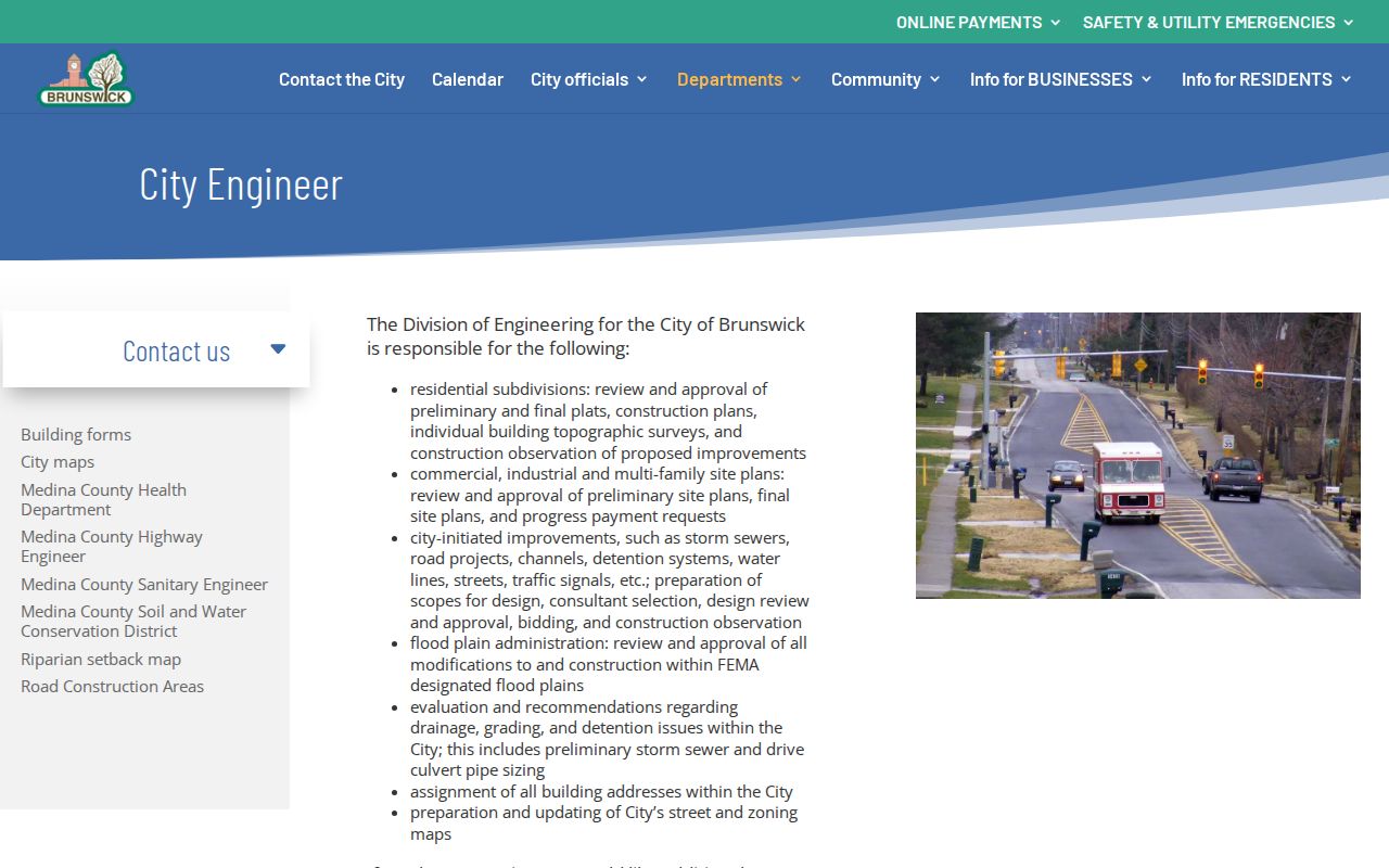
That local role makes the Engineer, at 4095 Center Road and 330-558-6880, a sensible contact for a disputed modern address. MCDL and the Medina County Historical Society remain the historical fallbacks. A past address trail belongs with the Brunswick city directory collections when the goal becomes the library’s books rather than a current street chain.
Limits of a Brunswick Street Directory
An Auditor owner field, Recorder party result, or GIS parcel is not a complete current-resident list. The public voter tools are name-led and exclude confidential categories. Driver information is limited by the Driver’s Privacy Protection Act and Ohio law, utility customer information is not a general public directory, and City or court material may be redacted. A property mailing field can also differ from the physical site.
Lawful use. Brunswick address records are appropriate for personal, lawful research, property history, and civic questions. Do not use them to stalk, harass, threaten, or intimidate anyone; Ohio law prohibits that conduct.
Ohio’s Safe at Home program protects qualifying participants through a substitute address and confidential treatment by covered government offices. Keep a defined record purpose, use the actual custodian, and do not infer a person’s presence from an omitted result.