
Brunswick Neighbors at the Parcel Line
Public records describe land, recorded parties, and selected official facts. For Brunswick neighbors, the most reliable starting point is the parcel boundary around one address. The County map can show adjoining land polygons, and the linked property card can show the property account. A City map or Block Watch area can add geographic context. None of these sources identifies a social circle or a complete group of people on a block.
| Block source | What it shows near an address | Access and boundary |
|---|---|---|
| Auditor parcel viewer | Adjoining polygons and parcel-card link | Visual, click-by-click method |
| Auditor property card | Parcel, account fields, sales, legal details | One parcel at a time; not occupants |
| Recorder documents | Recorded land history by parcel or legal description | No direct street search |
| City maps and Engineer | Street, ward, zoning, and address authority | Geographic routing, not names |
| Block Watch areas | Named community/safety coverage | No member roster or address list |
| Criss-cross directories | Dated address-to-principal listings | Historic, not current |
The distinction is important. A property owner or mailing field is about a land account. It may not match the physical site, and it cannot establish who your Brunswick neighbors are today. Keep each source inside the question it can answer.
Map Brunswick Neighbors by Parcel
The Medina County Auditor Parcel Viewer supports a narrow block method. Start at the target polygon and select only a polygon that visibly shares a boundary. A nearby parcel across a road is not necessarily adjoining land. The map does not have a verified command to export neighbors or create a radius list.
- Find the address in the Auditor search and confirm its city or township and permanent parcel number.
- Open that parcel in the GIS viewer and select a polygon that physically touches it.
- Use the popup link to open the adjoining parcel card and record its parcel and legal description.
- For a documented transfer, search the Recorder by parcel or legal description and compare the actual record.
- Stop at the defined property line or block segment. The map does not establish a personal relationship.
When the question becomes a full named street rather than the immediate block, use the Brunswick street directory for the address-to-parcel and Recorder chain.
Read Brunswick Neighbor Map Details
Before opening a card, the GIS popup can expose city, parcel, property address, owner and value, acreage, sale date, school, township, tax district, neighborhood, condition, grade, living area, and year built. The popup is a guide to the property record. Its owner or year-built field should not be used as a claim about people, a social connection, or the exact date a structure was built.
Where a boundary looks uncertain, use Tax Maps, the legal description, and City Engineer information instead of a screen-scale map line. Brunswick’s City Engineer assigns building addresses and maintains street and zoning maps. This matters because ZIP 44212 also reaches parts of Brunswick Township and a small part of Medina Township, so the postal label alone does not decide the custodian.
The Brunswick maps hub separates City street, ward, zoning, and cemetery map routes from County parcel GIS. Those City maps help orient a block, but they do not show property ownership or people. For an address-assignment or plat question, the City Engineer at 4095 Center Road, 330-558-6880, is the local authority. For parcel ownership, sales, and legal-property fields, return to the County Auditor card and then the Recorder.
That office split also keeps a block inquiry bounded. A City map may clarify whether a road or ward lies in Brunswick City, while the Auditor card shows the municipality and township associated with a parcel. If those records point outside City limits, a City request may not be the right channel even though the mailing address says Brunswick.
Brunswick Neighbor Block Watch Areas
Brunswick Police publishes named Block Watch areas for community connection and safety coverage. The list is useful block geography, but the City does not publish membership, household contacts, officers, or an address directory for those areas. Treat a named area as a way to orient a local question, not as proof that a person participates.
| Official community reference | Documented use | Important limit |
|---|---|---|
| Concord Meadows, Eagle Oakes, Fireside/Cherry Hill | Named Block Watch coverage | No member or address roster |
| Forest Hills, Kent/Warren Drives, Kings Court | Named Block Watch coverage | No personal contact directory |
| Laurel Creek, Oxford Heights, Quail Hollow | Named Block Watch coverage | Not a property or voter record |
| Royal Court and Shenandoah areas | Named Block Watch coverage | Does not establish participation |
The Brunswick Police Block Watch page is the source for the City’s named-area inventory.
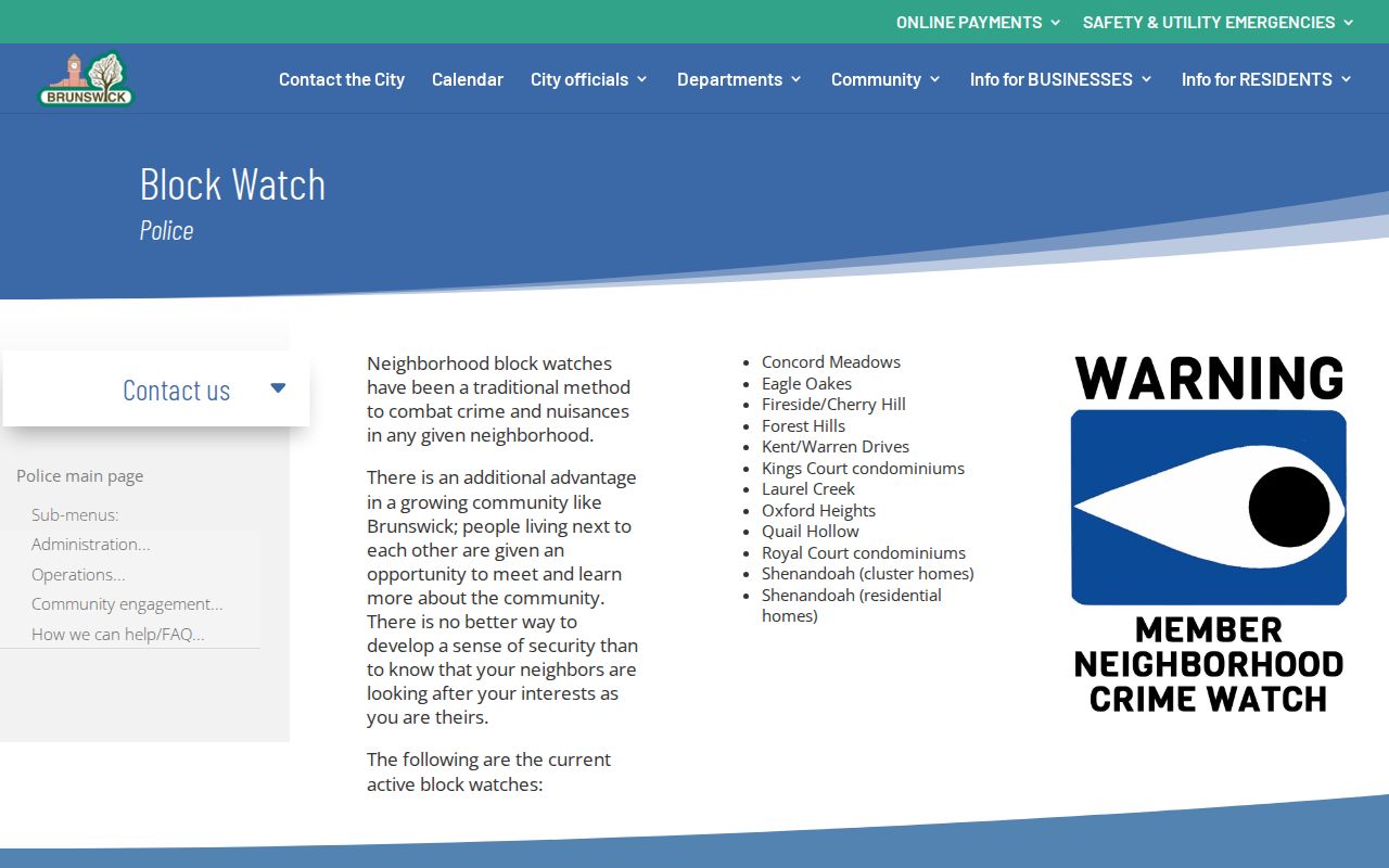
The City’s presentation reinforces the limit: community-area coverage is not a searchable list of Brunswick neighbors.
Brunswick Neighbor Sources Compared
Official sources are narrower than broad commercial neighbor tools, but their limits are visible. The Auditor, Recorder, City, and Board of Elections each identify a custodian and a record type. A commercial category can merge stale or mismatched data and leave the reader unable to tell which original record supports a claim. For a parcel question, the official source is the record to verify.
| Official record route | Broad commercial category |
|---|---|
| Shows its property, map, document, or voter purpose and custodian. | May combine data with uncertain source date or identity match. |
| Can be checked against the parcel, legal description, and document date. | May not show how an asserted connection was derived. |
| Includes statutory confidentiality and redaction limits. | Does not replace a custodian’s correction or disclosure process. |
For an uncertain result, return to the original parcel card or document and preserve its identifier. An official source may be incomplete or redacted, but it makes the boundary of the evidence clear and gives a reader the right office to contact. The County Recorder, Auditor, City Engineer, and Board of Elections keep different records, so a mismatch often means the question needs a different custodian rather than a broader search.
Brunswick Neighbor Voter Records
Ohio voter tools are person-led. The state lookup requires first name, last name, and county, and may offer street-name narrowing after a broad search. Medina’s local lookup begins with last and first name. Neither should be described as a block browse. Under R.C. 3503.13 and R.C. 3503.153, disclosed elector information remains subject to statutory exclusions.
Safe at Home records, protected addresses, Social Security and identification numbers, phone numbers, email, and other confidential fields are not part of a public neighbor list. Daily county snapshots through the state DATA portal are dated raw records retained for a limited period after elections, not a way to construct a social profile of a street.
Brunswick Neighbors in Historic Directories
For a past block, MCDL’s Dickman’s county criss-cross holdings provide an address-to-principal listing in dated editions: 1976, 1979, 1988, and 1991 through 2012. Use the exact edition and preserve its address form. The item records historical evidence for that edition, not a conclusion about the address now.
Earlier work may need Brunswick Township. Brunswick was not a city until 1960, and rural sources can use a township road, route, lot, or owner atlas. MCDL, MCHS, deeds, tax duplicates, and the 1874/1897 atlases form a stronger historic-neighbor trail than guessing an old-to-new street number conversion.
Brunswick Neighbor Parcel Alerts
A recorded land document may be worth monitoring when it concerns a known parcel. The Medina County Recorder Property Fraud Alert is free and can send an email or phone notice when a document involving a property is recorded. It is an alert, not proof that a filing is fraudulent. Review any notice with the Recorder before acting.
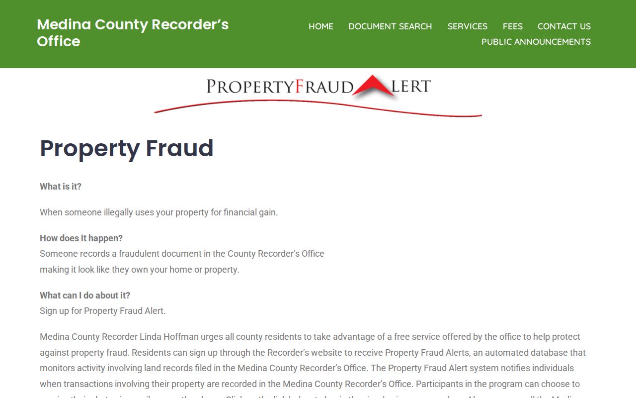
The service fits a parcel-history question because it is tied to recorded activity. It does not reveal current occupants or create a Brunswick neighbor directory.
Brunswick Neighbor Records Need Dates
Property facts do not all describe the same moment. An assessment or revaluation year, sale date, deed execution date, recording date, directory edition date, and voter last-activity date are separate events. A current portal display can present an older underlying record. When comparing parcels around a Brunswick address, write down the source, its event date, the parcel identifier, and the party role before putting results side by side.
The same discipline applies to recorded instruments. A Recorder result can identify parties, document type, recorded date, book/page, parcel or legal description, related documents, and an image indicator. Match the legal description to the Auditor card. Do not rely only on a shared street name or common party name, especially where a transfer covers several parcels. This keeps a block inquiry tied to documented land rather than loose associations.
Brunswick Neighbor Lists Have a Purpose
City-held lists must be read for the purpose they were created to serve. Brunswick’s registered-contractor table names companies, contractors, business contact details, registration descriptions, and comments. It is a City registration resource, not a community or property-neighbor list. Treating every public list as a directory of Brunswick neighbors would blur those separate purposes.
The Brunswick registered-contractor table illustrates that narrow scope.
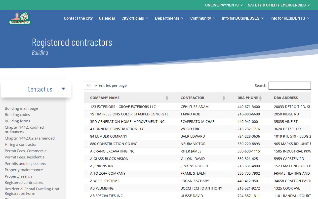
Use a City register only for the stated registration question. For land beside an address, return to the parcel, map, and Recorder workflow instead.
Brunswick Neighbor Privacy Limits
Some records remain confidential or restricted. Ohio Safe at Home uses a substitute address for qualifying participants, and covered government offices must handle it accordingly. Motor-vehicle personal data has statutory limits. Utility-customer information is not a public neighbor directory. Court, police, and health records can also contain redactions. An omitted result is not evidence that a person is absent from a block.
Lawful use. Brunswick neighbor research is for a defined property question, local history, reconnecting, or civic awareness. Do not use records to watch, stalk, threaten, or harass another person.
For a mistake in an official record, contact its custodian. The Auditor handles parcel-card questions, the Recorder handles recorded-document access, the Board of Elections handles voter registration, and the City routes identified municipal records under the Ohio Public Records Act, R.C. 149.43.